3D rendering Services for Contractors
Bring your hardscape projects to life with our high-quality 3D rendering, tailored to meet your business needs.
Building Strength and Elegance
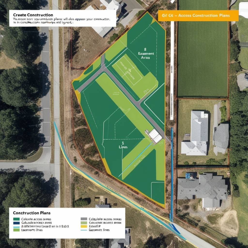
leverage cutting-edge 3D rendering layouts and GIS imagery to craft precise construction plans, ensuring your project is visually and spatially optimized for success.

3D architect visualization
How 3D rendering Enhance Project Clarity and Customer Satisfaction
Incorporating 3D rendering into your masonry project empowers your crew with a clear understanding of the project's scope before breaking ground. By visualizing every detail in three dimensions, your team can effectively anticipate challenges, coordinate tasks seamlessly, and execute with precision.
This clarity not only streamlines the construction process but also minimizes costly mistakes and delays. For customers, this means a smoother, more predictable project experience with fewer surprises, ultimately leading to a finished result that closely matches their vision and expectations.
Contractors can easily modify designs based on feedback. 3D renderings allow for quick adjustments, making it easier to explore alternative designs and materials.
Geographic Information System
Key Concepts of GIS Aerial Imagery
GIS is crucial in the development process of masonry and construction projects because it provides precise spatial analysis and visualization through high-resolution aerial imagery and integrated data layers.
This technology allows for accurate site assessment, detailed planning, and effective risk management by offering a comprehensive view of terrain, existing structures, and spatial relationships.

IDC WILL OFFER TWO MAIN PRICING MODELS FOR 3D RENDERING SERVICES:
1. One-Time Purchase: Designed for contractors requiring infrequent design services.
2. Subscription Plans: Tailored for contractors seeking consistent monthly 3D rendering, providing enhanced value through tiered pricing structures.
One-Time 3D RENDERING
High-resolution 3D model.
Delivered within 2–3 business days.
Includes up to 2 revisions
standard Plan
5 custom 3D designs per month
Quick turnaround (2–3 business days per design).
Up to 3 revisions per design.
Dedicated support team.
premium plan
10 custom '3D Rendering.
Priority turnaround (1–2 business days per design).
Up to 5 revisions per design.
Dedicated account manager.
Exclusive access to new features and updates
HOW IT'S WORK
data collection
Capture high-resolution aerial imagery and gather additional spatial data.
Georefencing
georeference the aerial imagery to ensure it accurately reflects real-world coordinates..
3D model creation
Utilize GIS software to transform the 2D maps and spatial data into detailed 3D models.
visualization
Review and refine the 3D model to visualize the project's impact and integration with the site.
OUR SERVICE
Comprehensive 3D RENDERING and Visualization Services
accuracy
3D layouts ensure precise measurements and reduce errors in the construction process.
efficiency
Streamlines planning and coordination, saving time and minimizing rework.
clarity
Provides a clear, visual representation of the project, enhancing client understanding and approval.
Frequently Asked Question
Yes, you can upgrade or downgrade your subscription at any time.
Unused designs do not roll over, but you can upgrade to the Pro Plan for unlimited designs
3D/2D
unlock the full potential of your project with 2d and 3d rendering
visualize details in 3d
Transform outdoor space with precision using cutting-edge 3D design technology. Our advanced tools allow contractors to see every element of the project before breaking ground. This provides clarity, accuracy, and peace of mind, reducing costly changes during construction and ensuring the final result aligns with your vision
streamline in 2d
Before diving into 3D, our detailed 2D design phase ensures that every measurement and feature is mapped out precisely. This serves as a blueprint for the project and guarantees that no critical details are overlooked in the planning stage. Together, 2D and 3D design streamline communication between contractors and clients, resulting in fewer delays and misunderstandings.
the power of 3d
Using 3D design technology, we can create lifelike visualizations that help you understand how various elements from pavers to outdoor kitchens—will interact in your space. You’ll be able to walk through your project virtually, making informed decisions and avoiding potential pitfalls. For contractors, 3D designs offer a precise reference, ensuring that every phase of construction follows the **approved vision.

